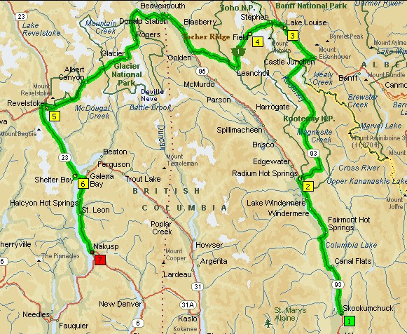
Thursday, July 18
- Skookumchuck, BC to Nakusp, BC
- 354 miles
After nursing our nasty mosquito bites with Benadryl, we head up the road looking for a diner. We find one and stop for a right proper Canadian breakfast. There are signs for “Mushroom Buyer” and “Cash for Mushrooms” all over town. With us being children of the sixties and seventies, the term “magic” comes to mind and we think, “Wow! Semi-legal weed, strong beer and now mushrooms? These Canadians really know how to party!”
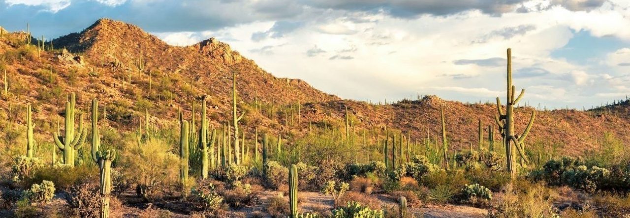
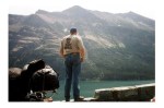
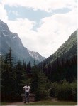
We continue north on Hwy 93/95 and at the town of Radium Hot Springs, we turn east and enter the Kootenay National Park where Hwy 93 splits off from Hwy 95. An entrance fee is required and we soon realize that it’s worth every penny. We ride 64 miles through the heart of the Canadian Rockies. The forest and the mountains are absolutely pristine. It’s seems so remote that if your bike broke down and you didn’t hitch a ride out of this area before dark, you’d probably get eaten by wild animals. The scenery is so amazing that taking photos can’t really do it justice.
From Castle Junction, we continue up to Lake Louise in the Banff National Park and then head west through the Yoho National Park over to the town of Golden. This is world class motorcycling touring and all we’re doing is a light smorgasbord of what the area really has to offer. Next time, we’ll need to continue up Hwy 93 to Jasper like the crazy biker we met in Glacier told us. It keeps getting better as you go North? Wow! He was speaking Truth.
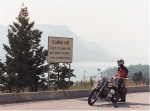
We continue west toward Glacier National Park, not to be confused with the National Park of the same name that straddles the US / Canada border, and we spot a sign that says we are at the source of the Columbia River. From here, it runs all the way out to the Pacific Ocean on the Oregon Coast. Our brains are stretched even further trying to comprehend the scope of it all.
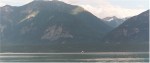
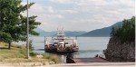
We travel through Mount Revelstoke National Park, our fifth park today, and then we leave Hwy 1 at Revelstoke and head south on Hwy 23 which dead ends at the Upper Arrow Lake. We look for the ferry and we spot it way out on the lake. The lake didn’t look like much on the map, but now that we’re here, we’re very impressed with the scale of this landscape.
There’s something neat about following a road that runs right into the water. It really makes it clear that the ferry is truly part of the highway system. No charge, either.
Once we cross, we head south to the Nakusp Hot Springs and set up camp. We learn how to flip Toonies to campground clerks and we spend a very enjoyable evening in camp.
(click a photo to launch slideshow)


Go to Day 5: Welcome home, guys!
