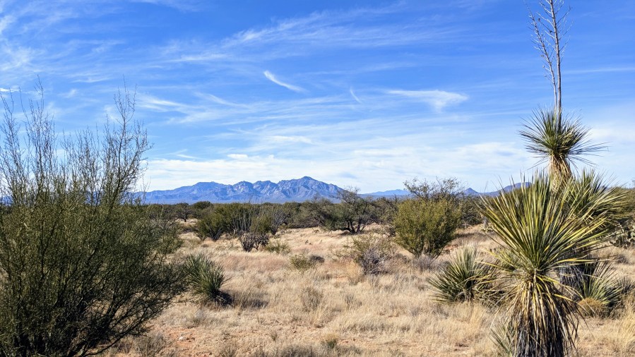
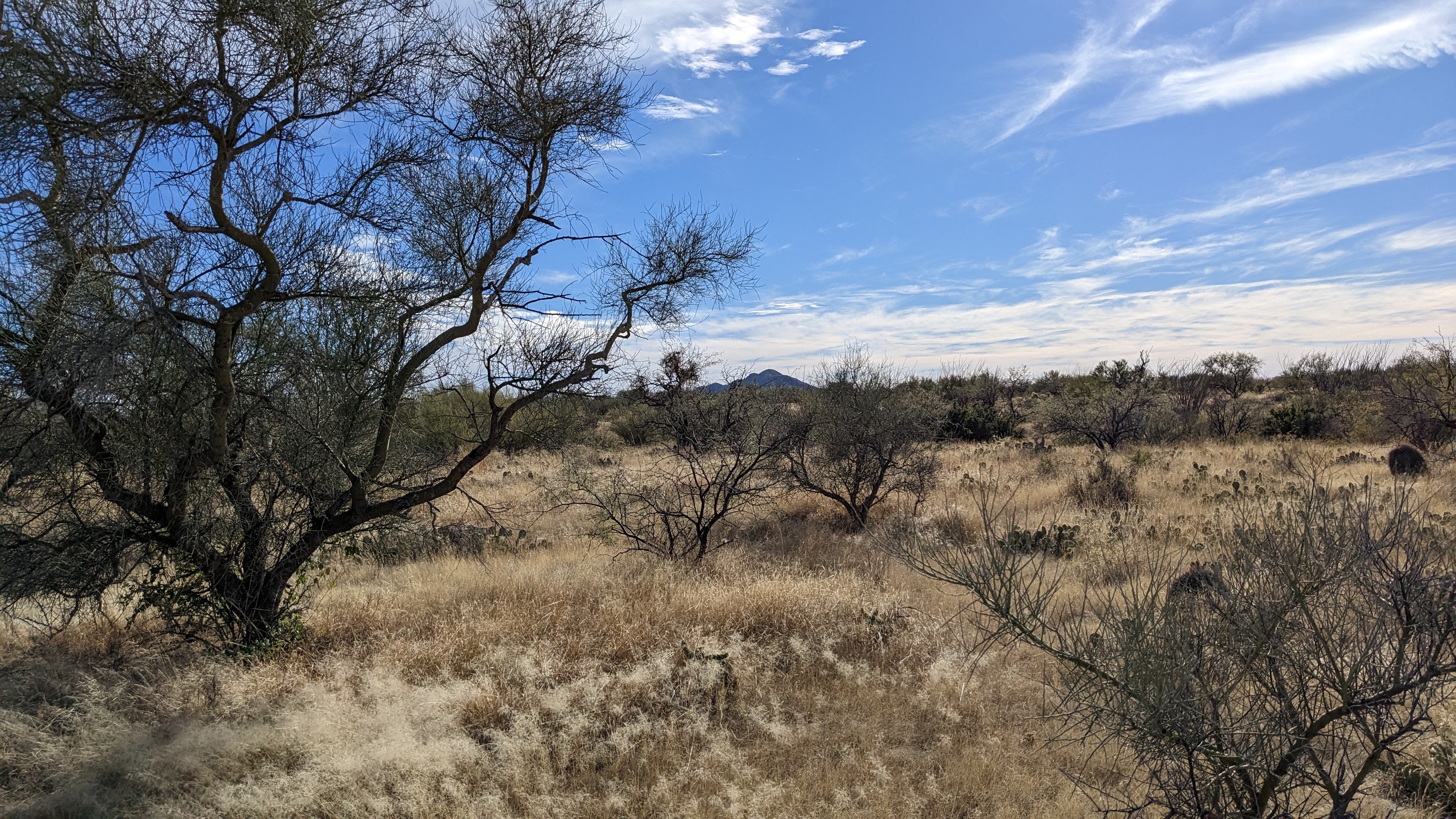
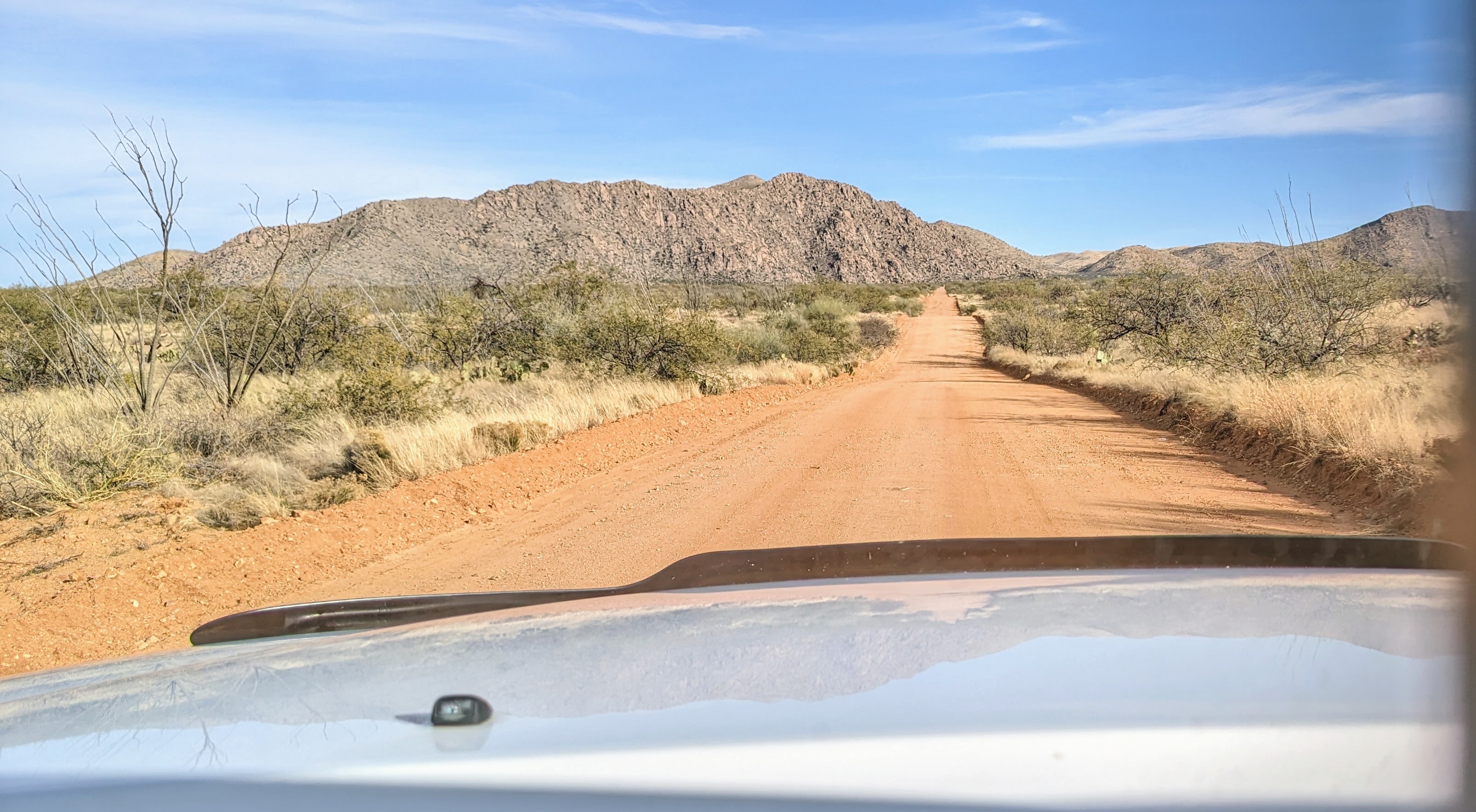
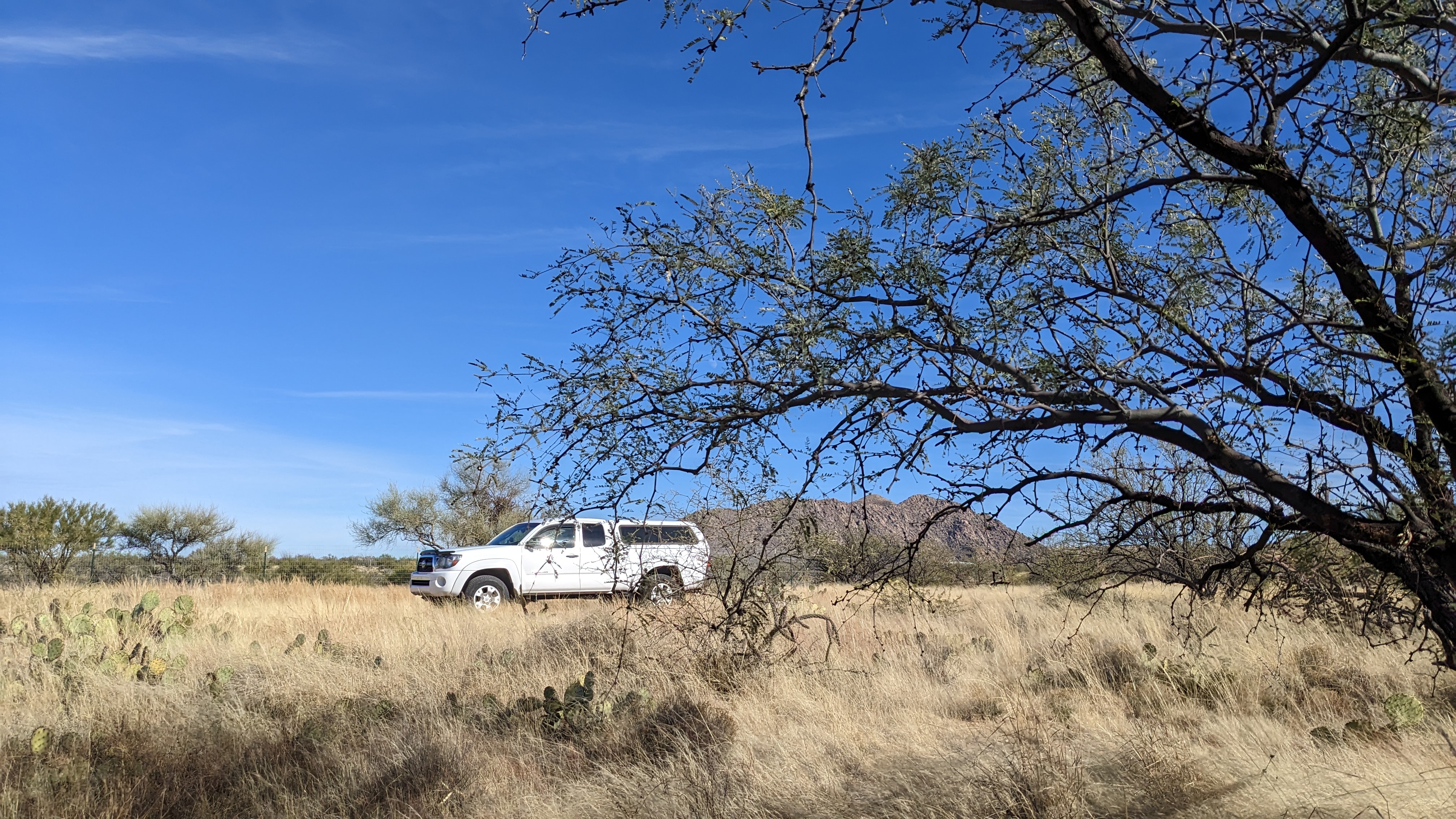
These photos are from a 1.75 acre vacant lot we inherited from Inga’s grandparents in the Altar Valley which is west of the Tucson basin. They purchased it back in 1970. It was called Diamond Bell Ranch and marketed heavily on TV to Chicagoans. The basin is still sparsely populated and under habitat protection policies. Back when this was a part of Mexico before the Gadsden Purchase, the Ranch was created from a 666,468 acre land grant from the government in 1824 and it was used for cattle.
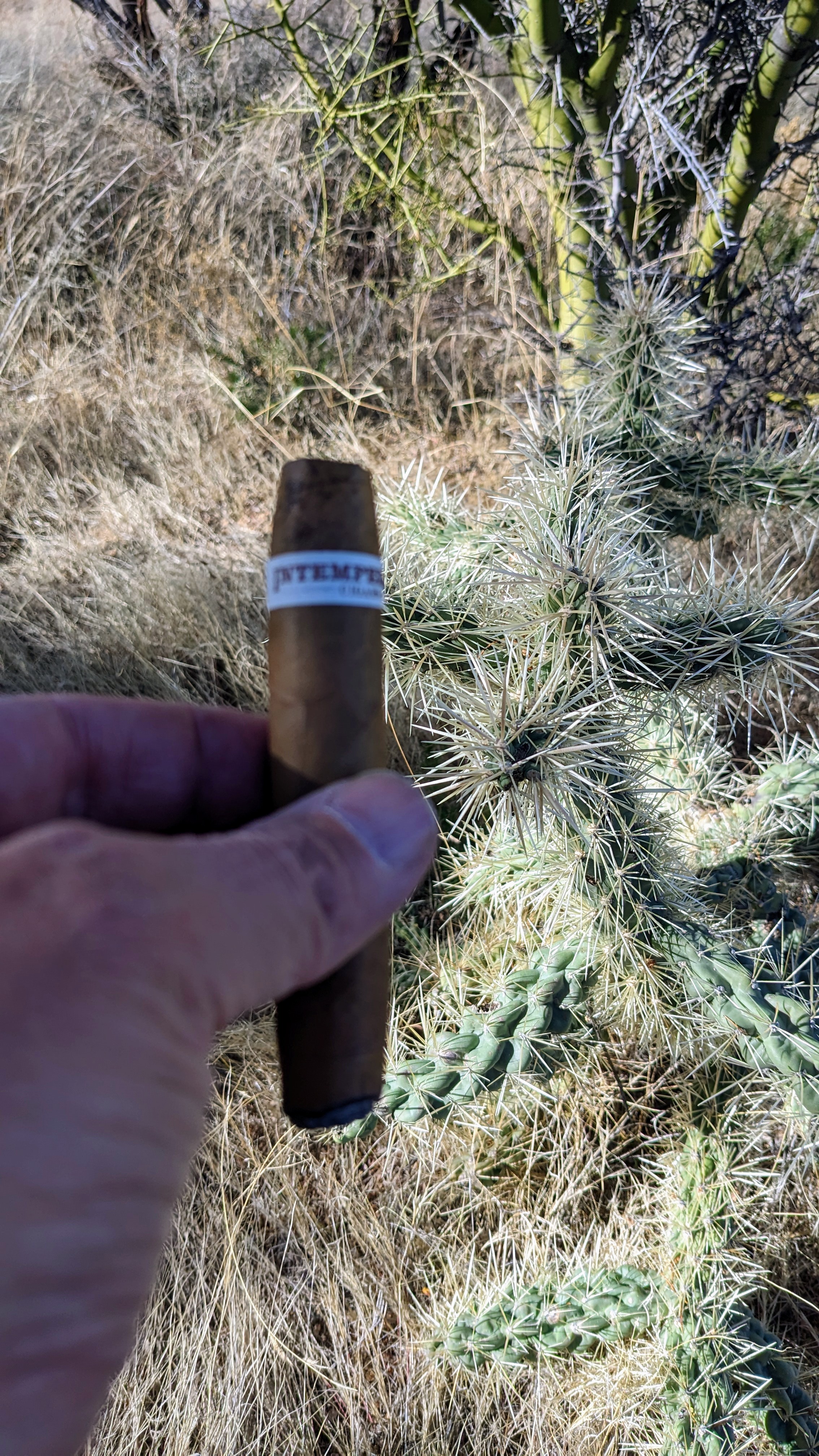
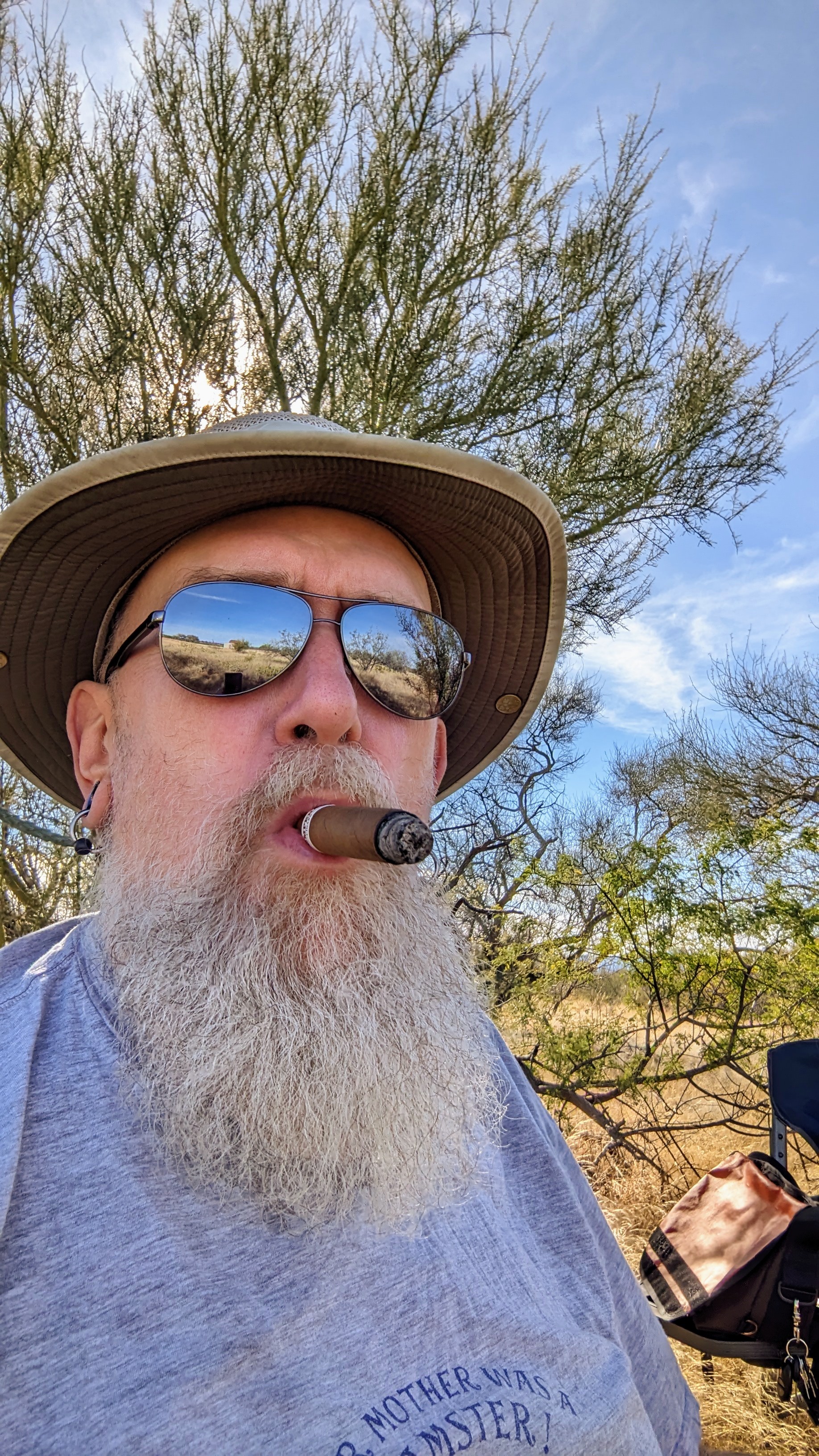
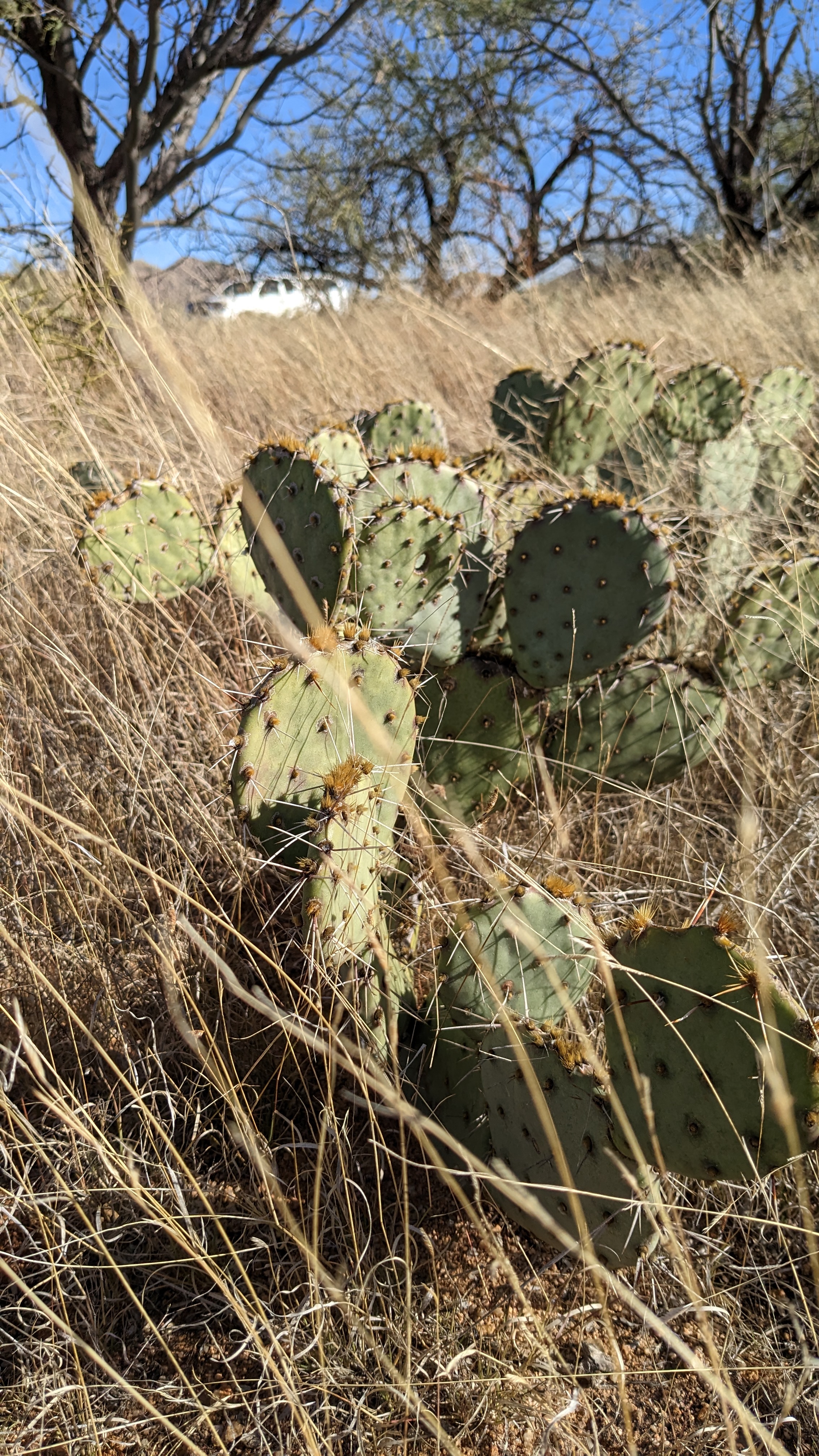
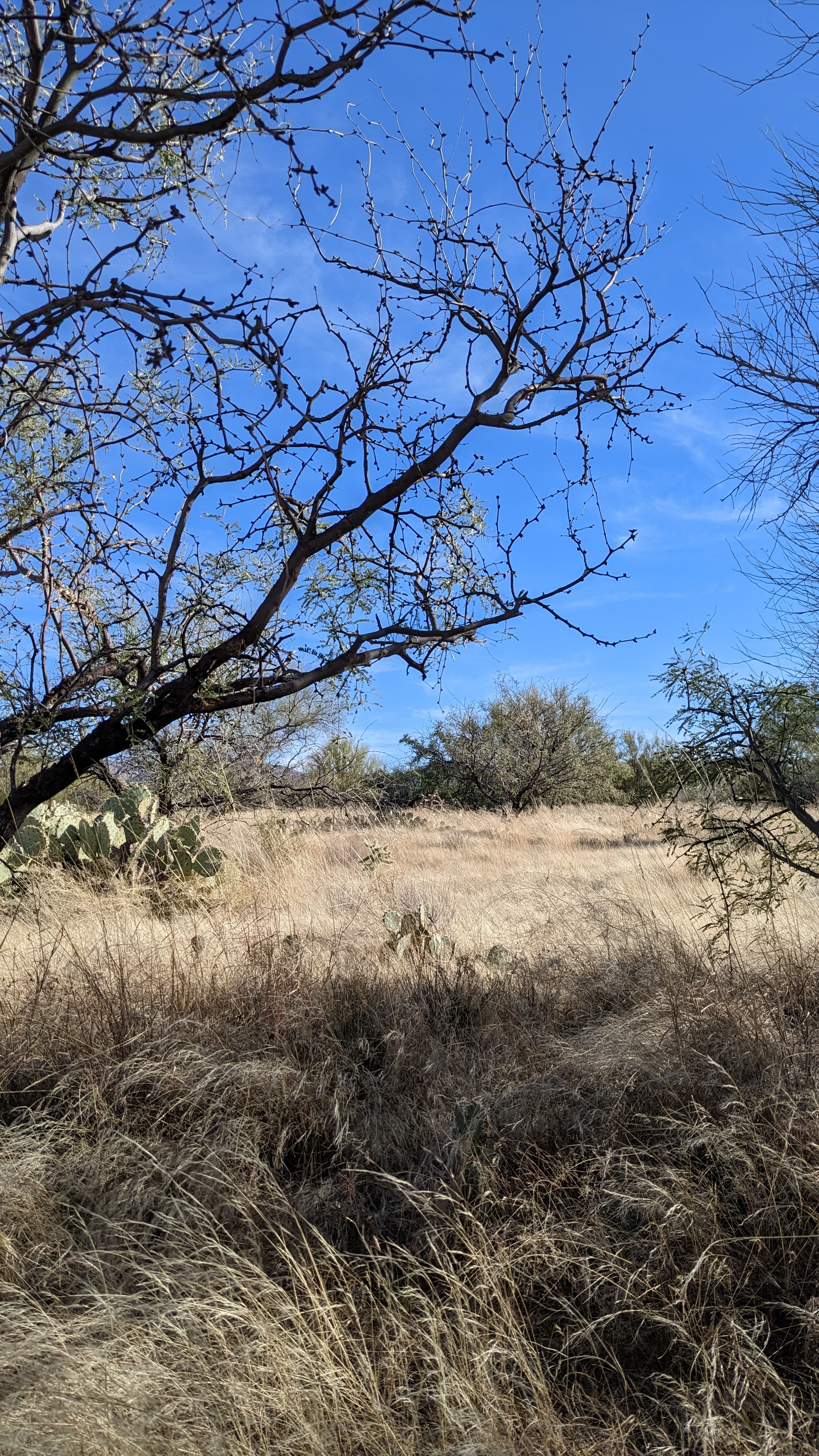
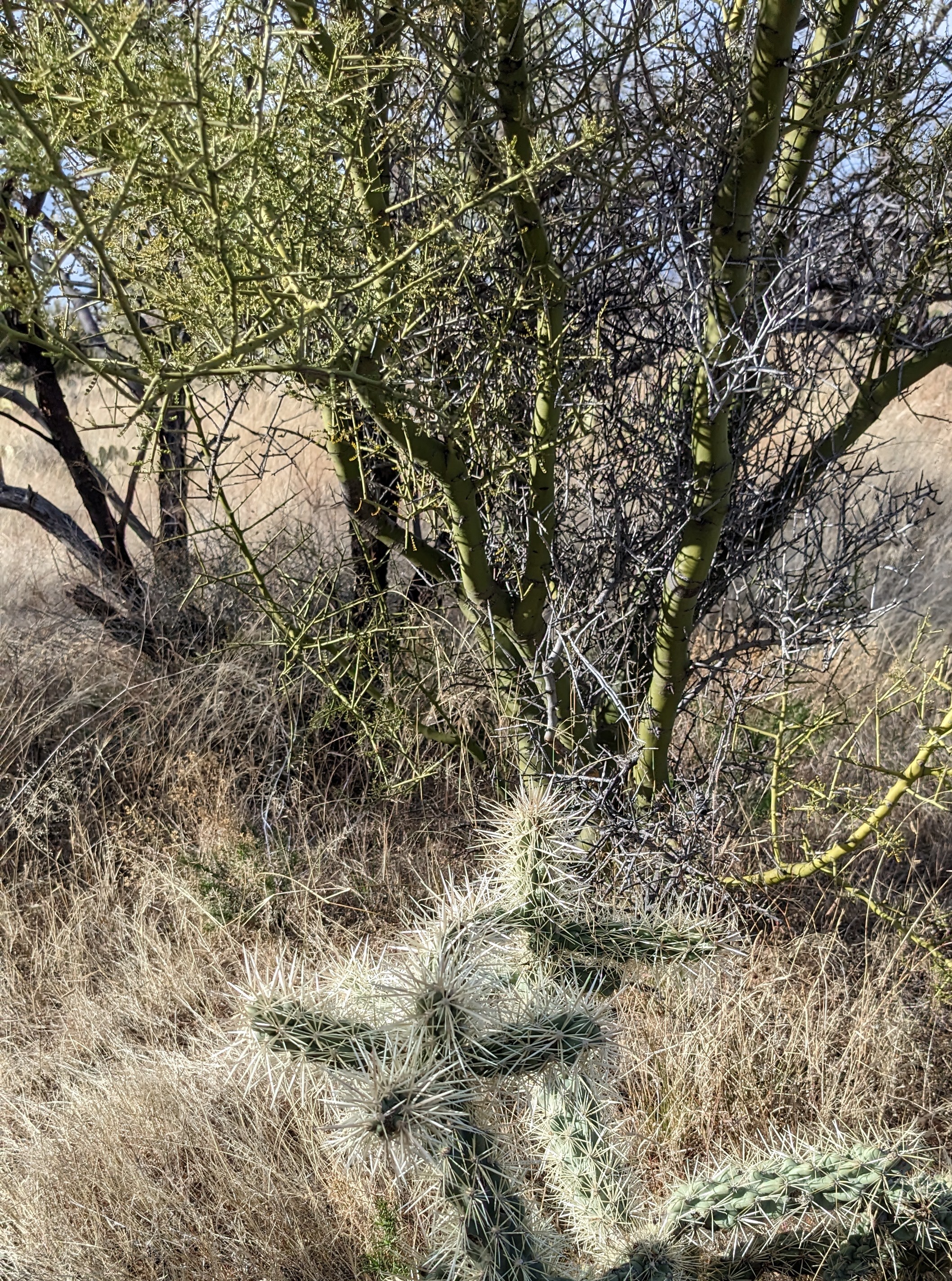
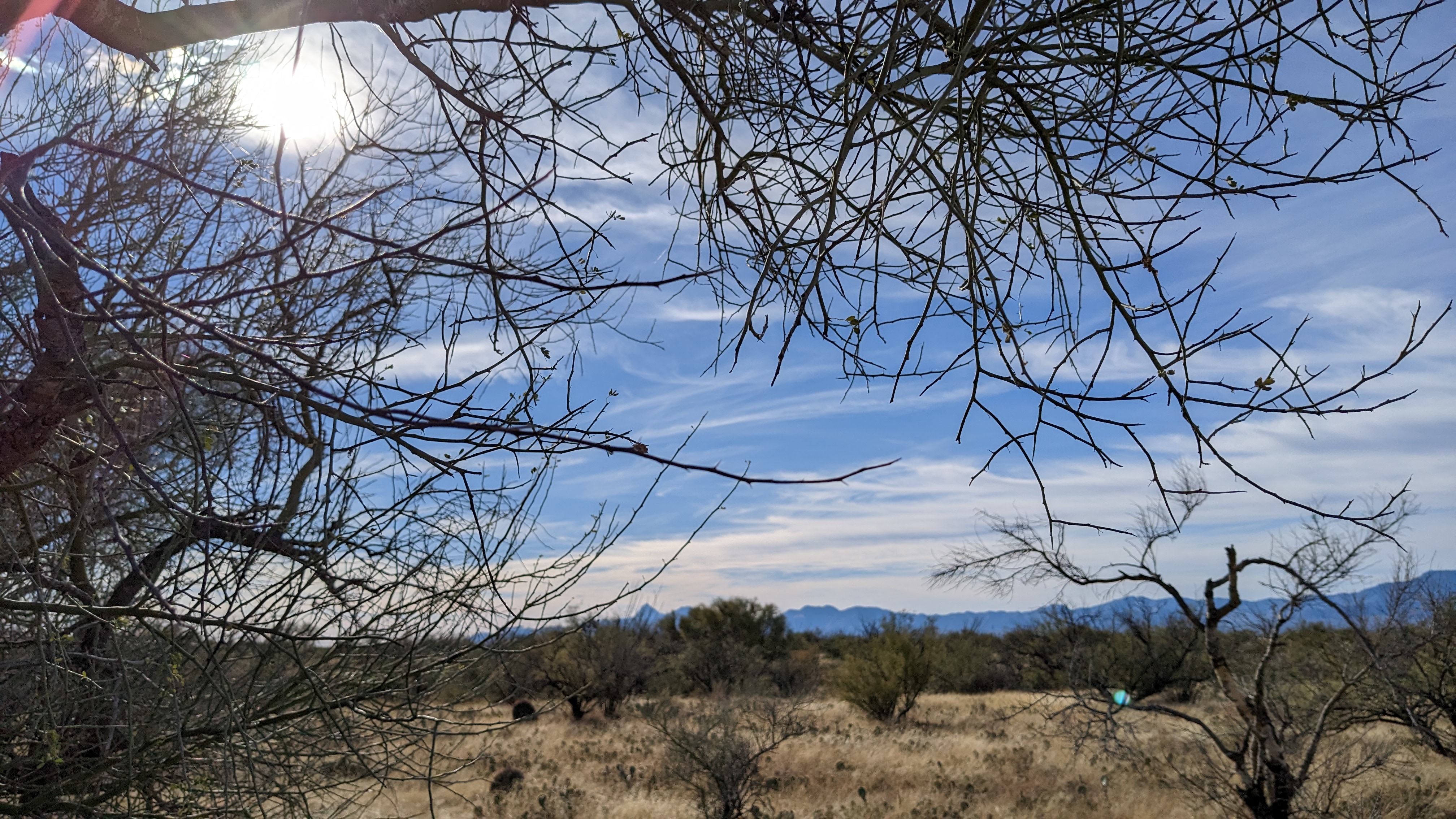
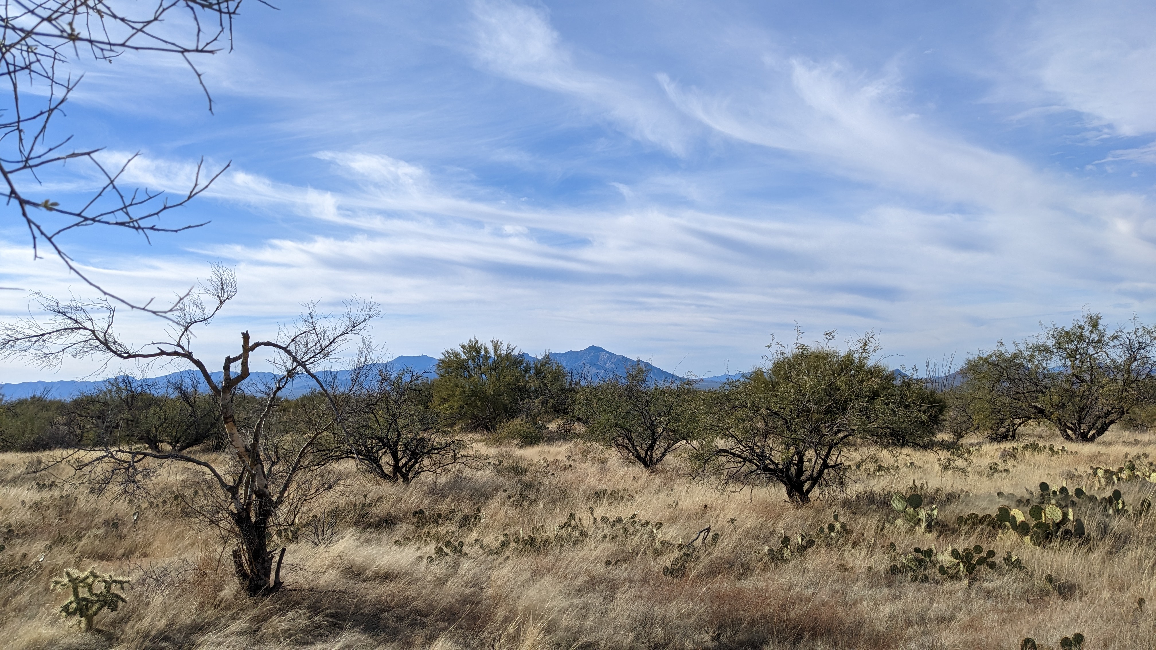
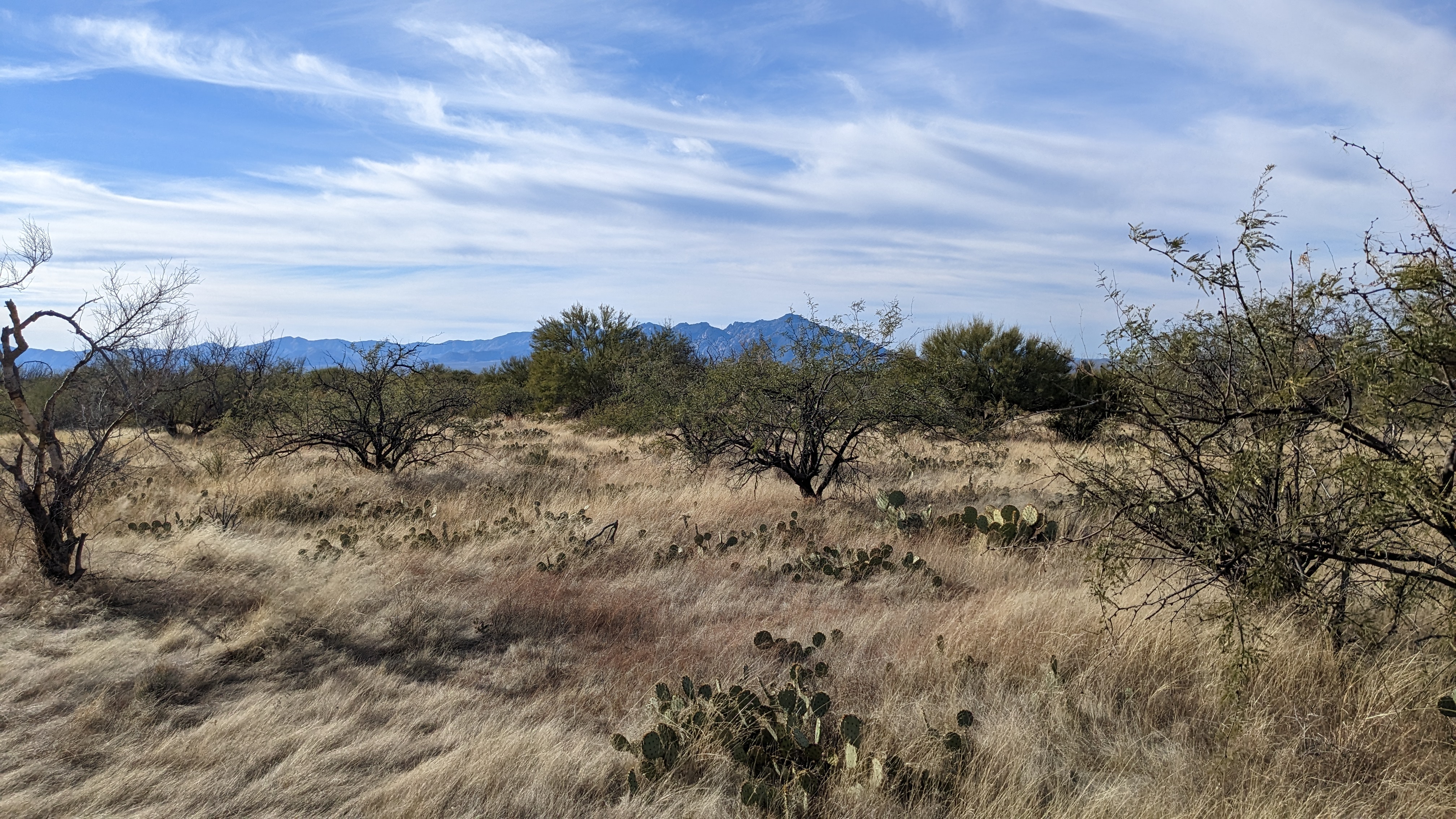
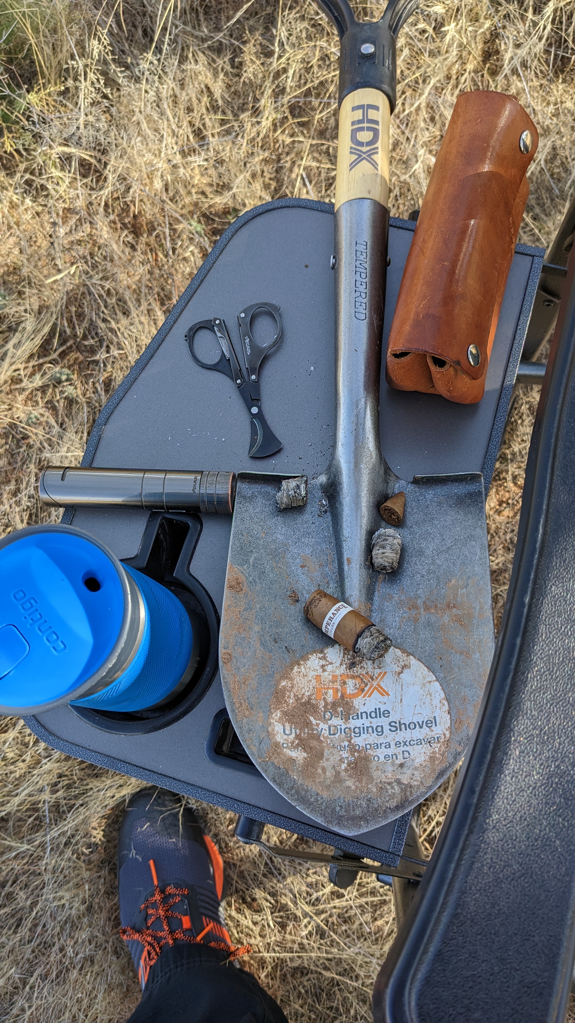
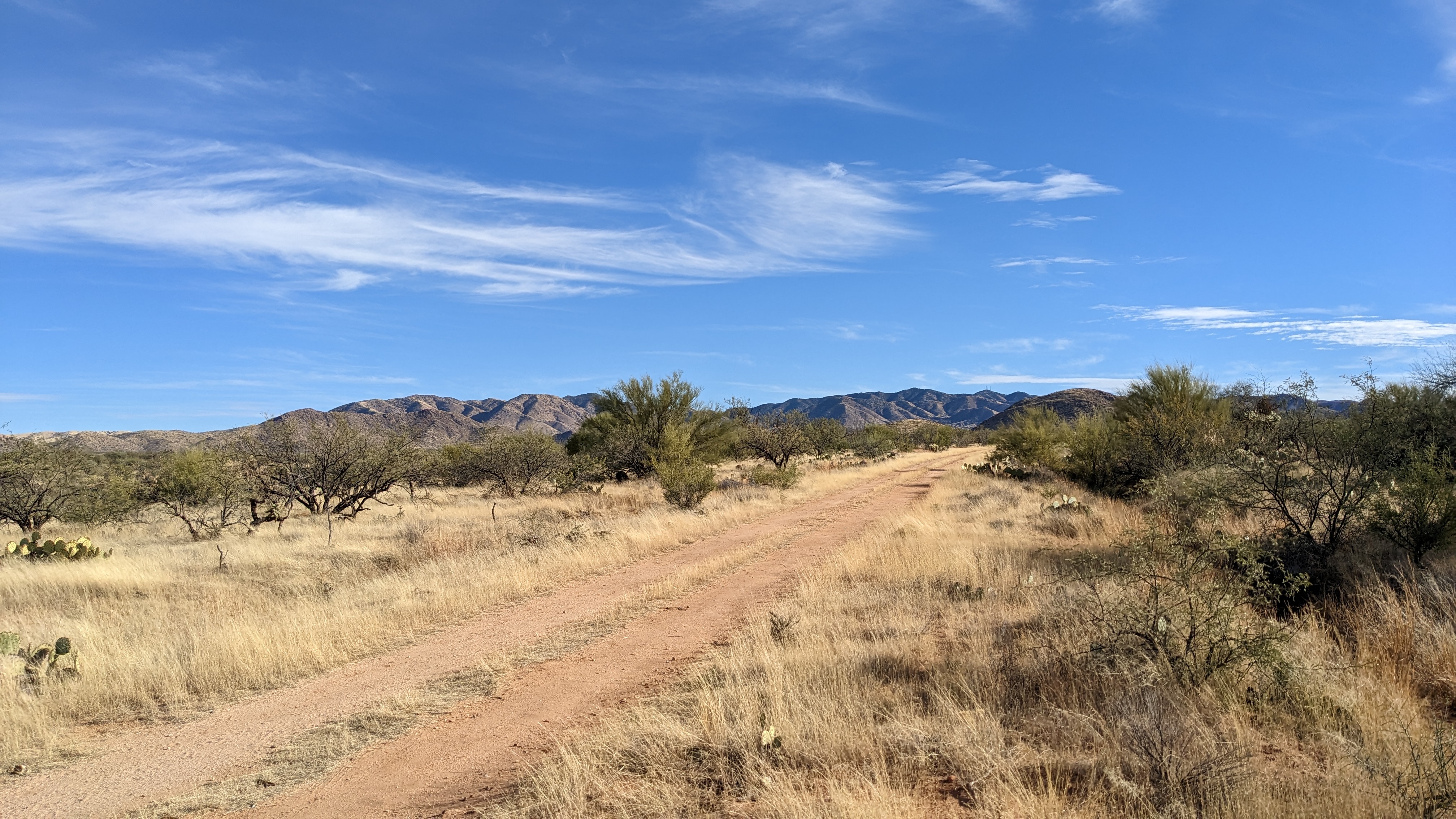
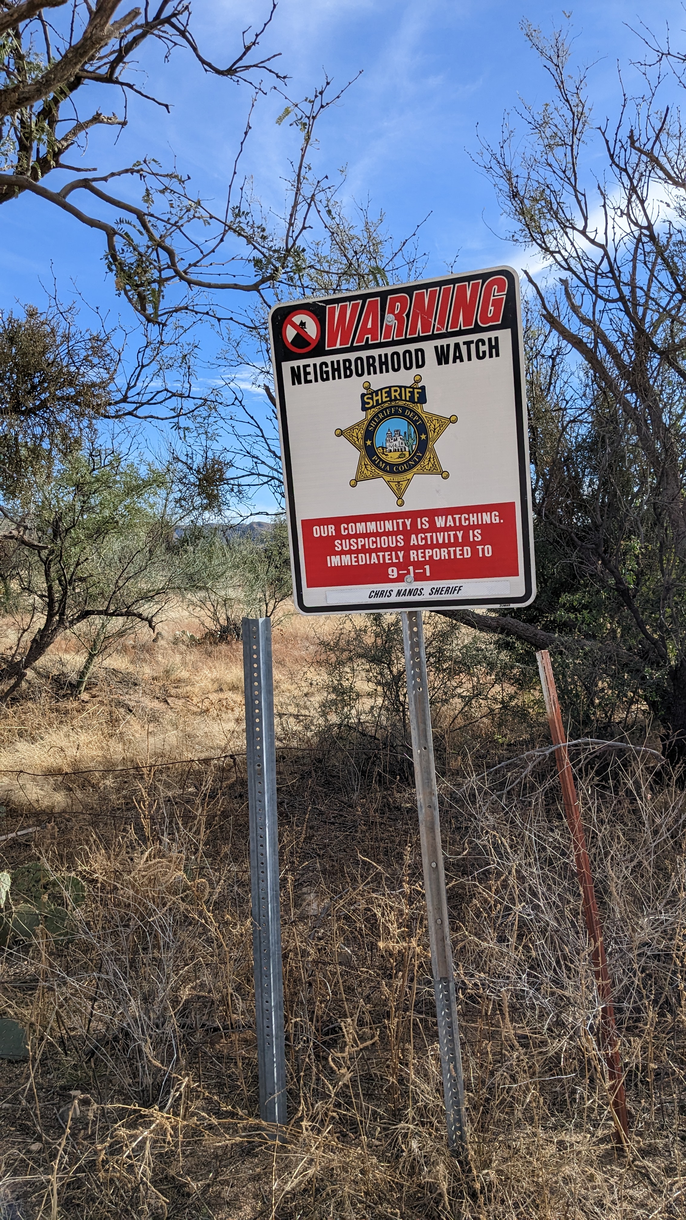
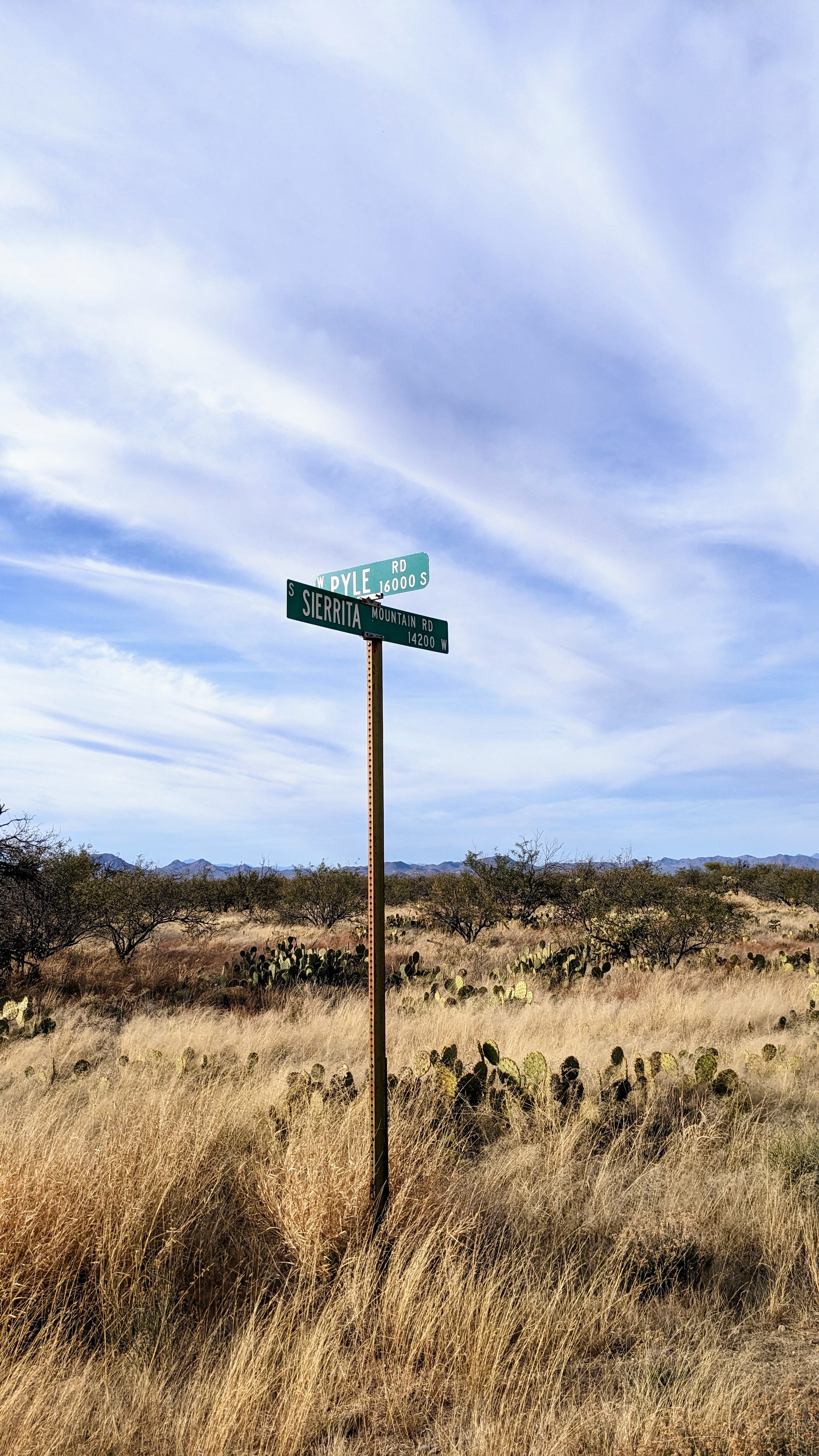
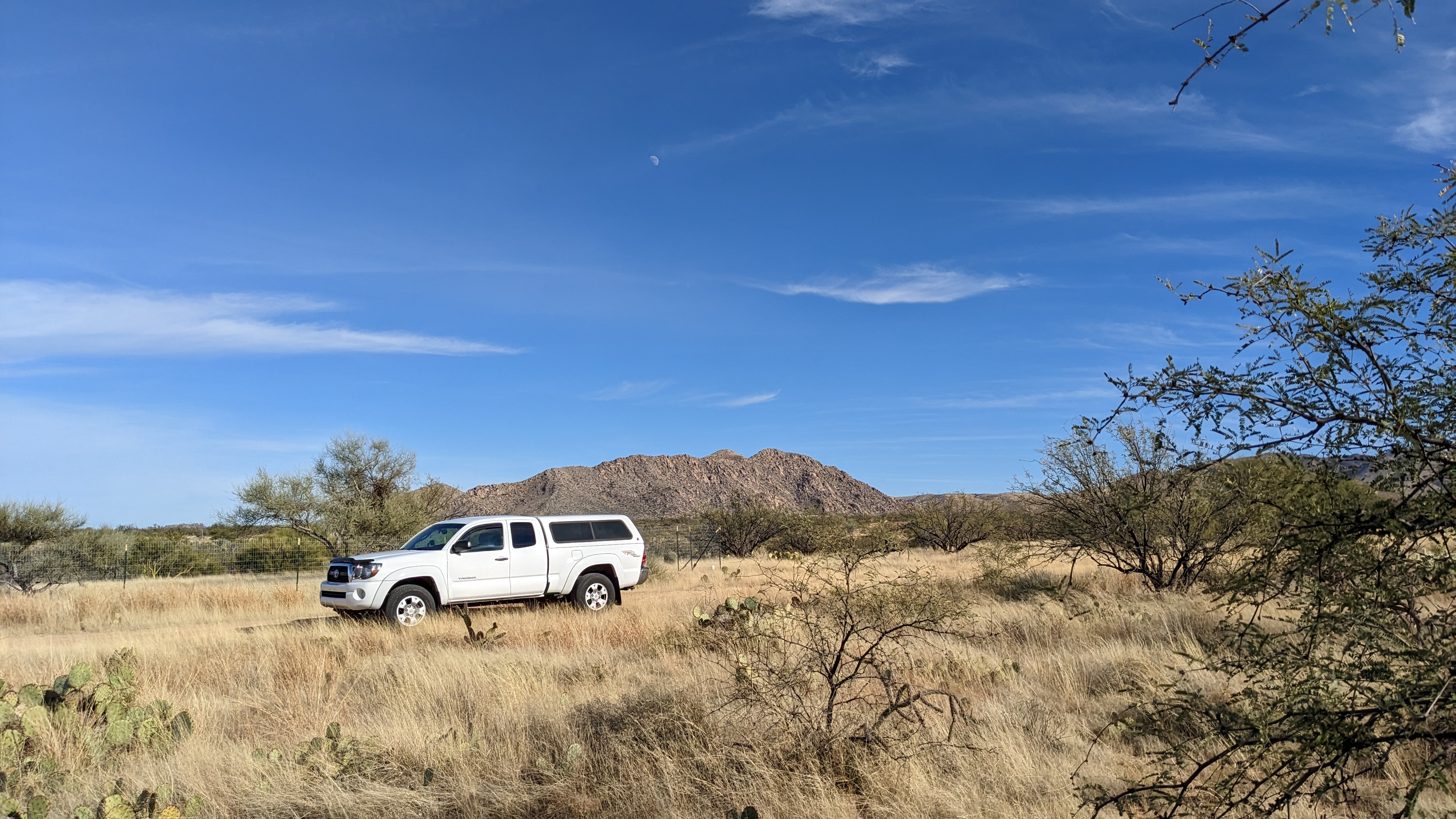
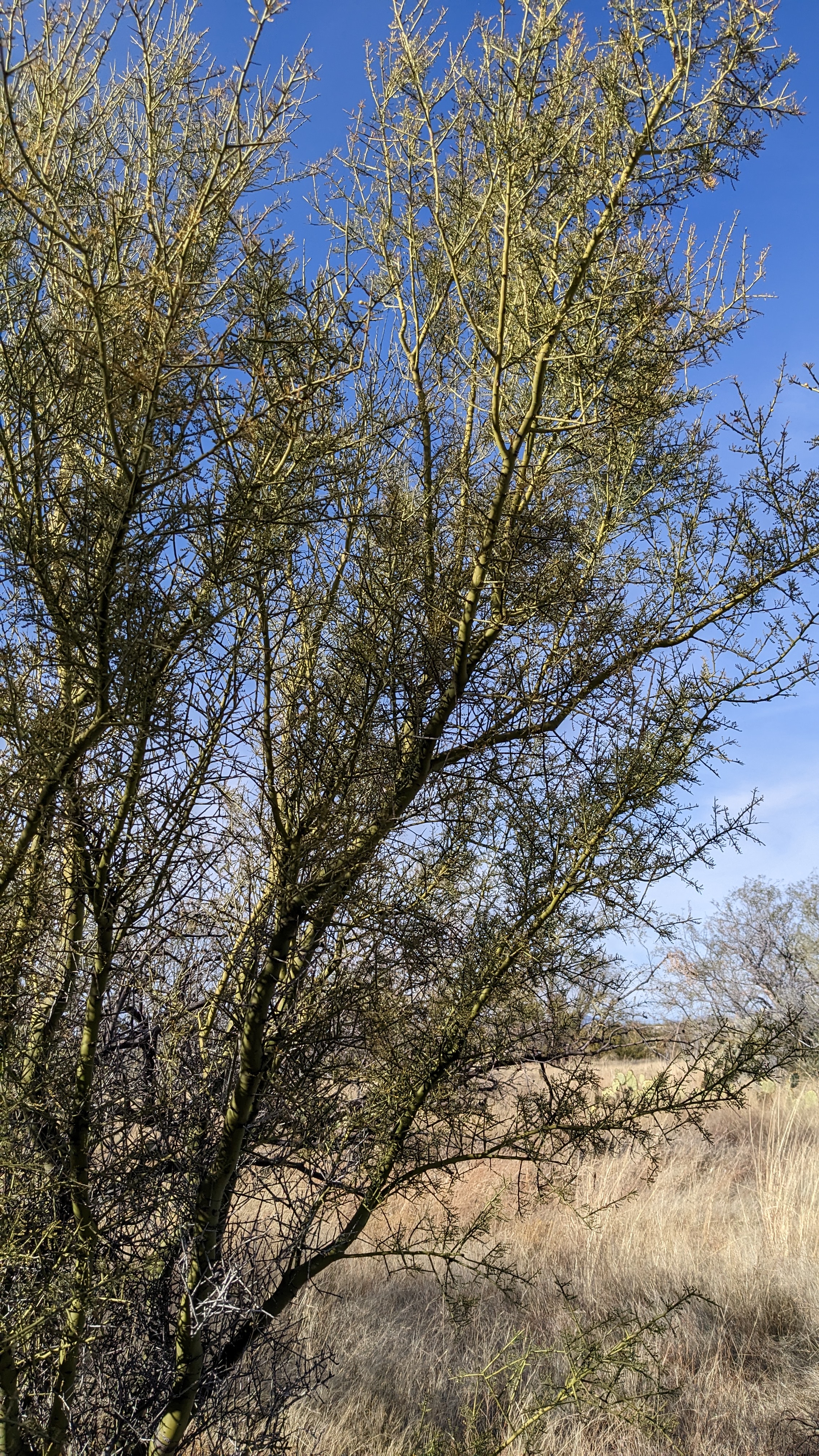
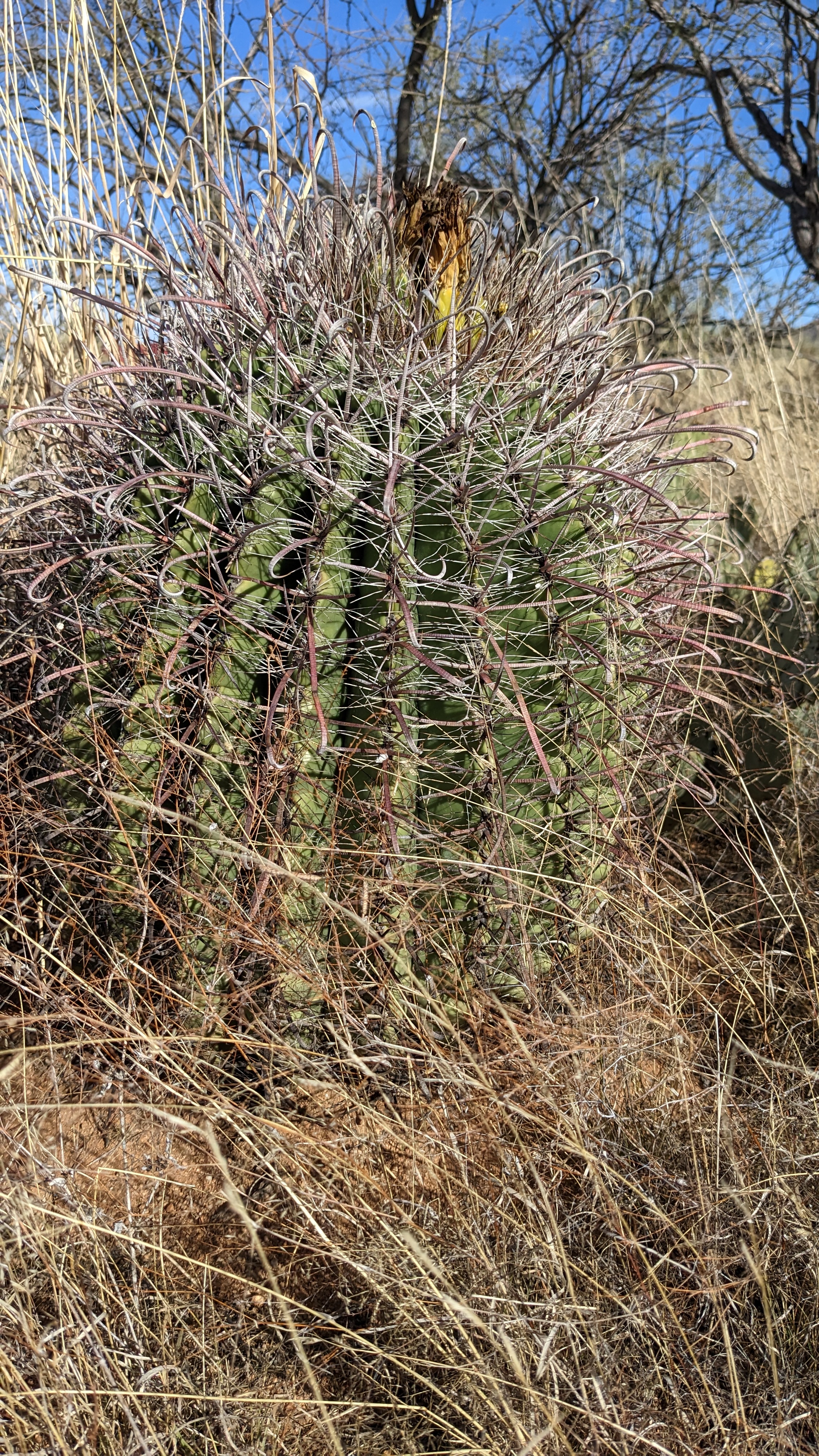
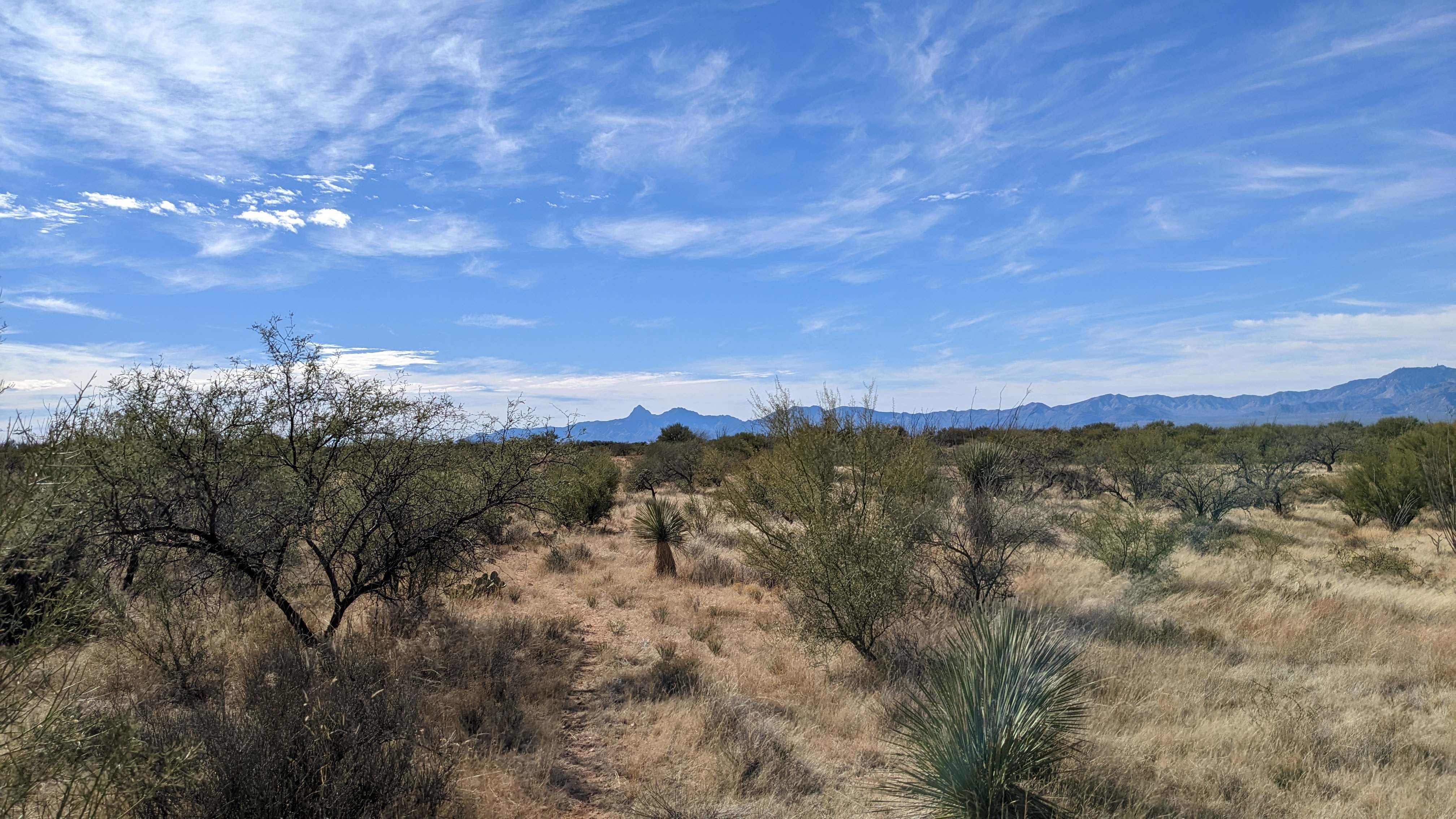
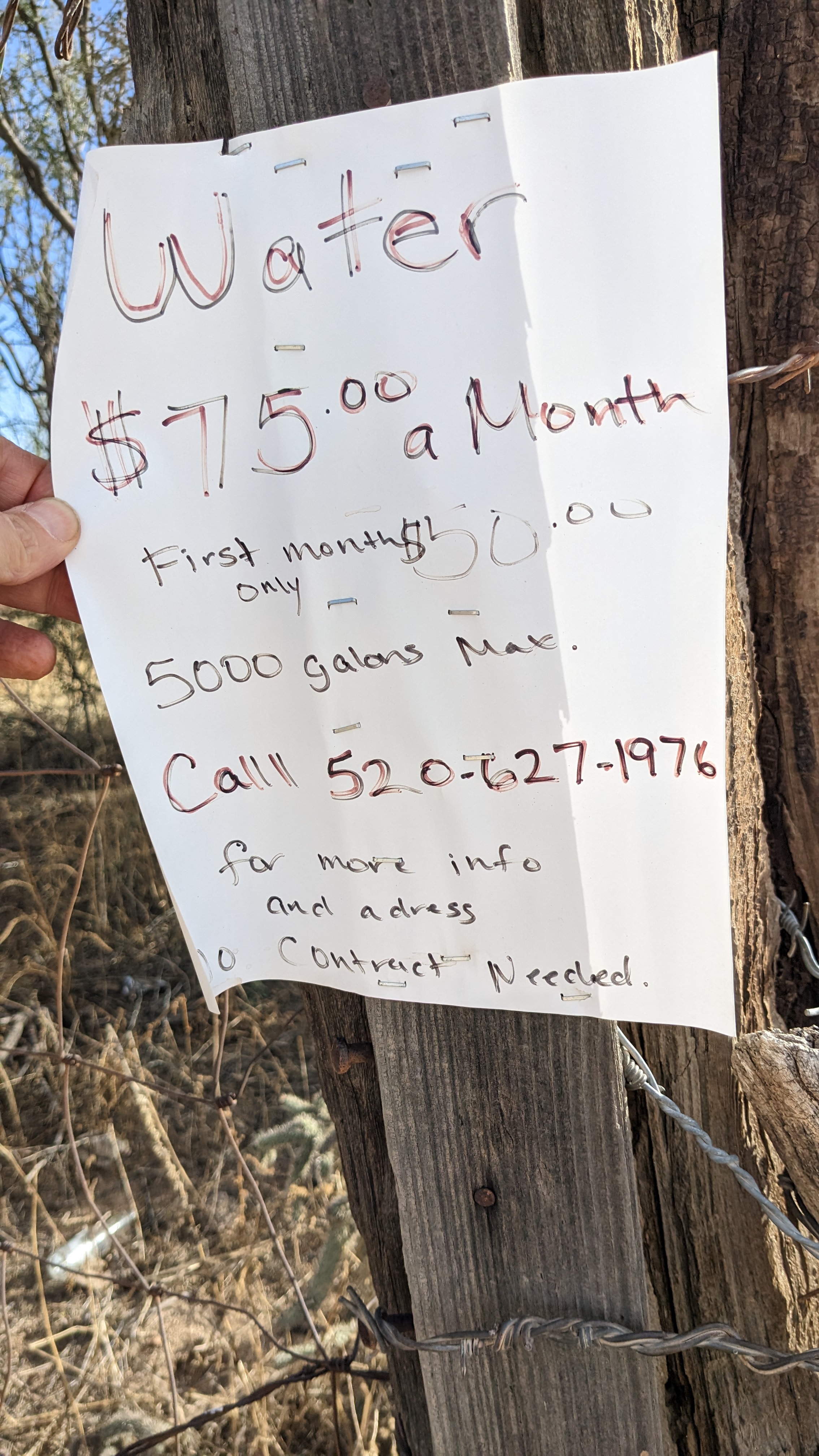
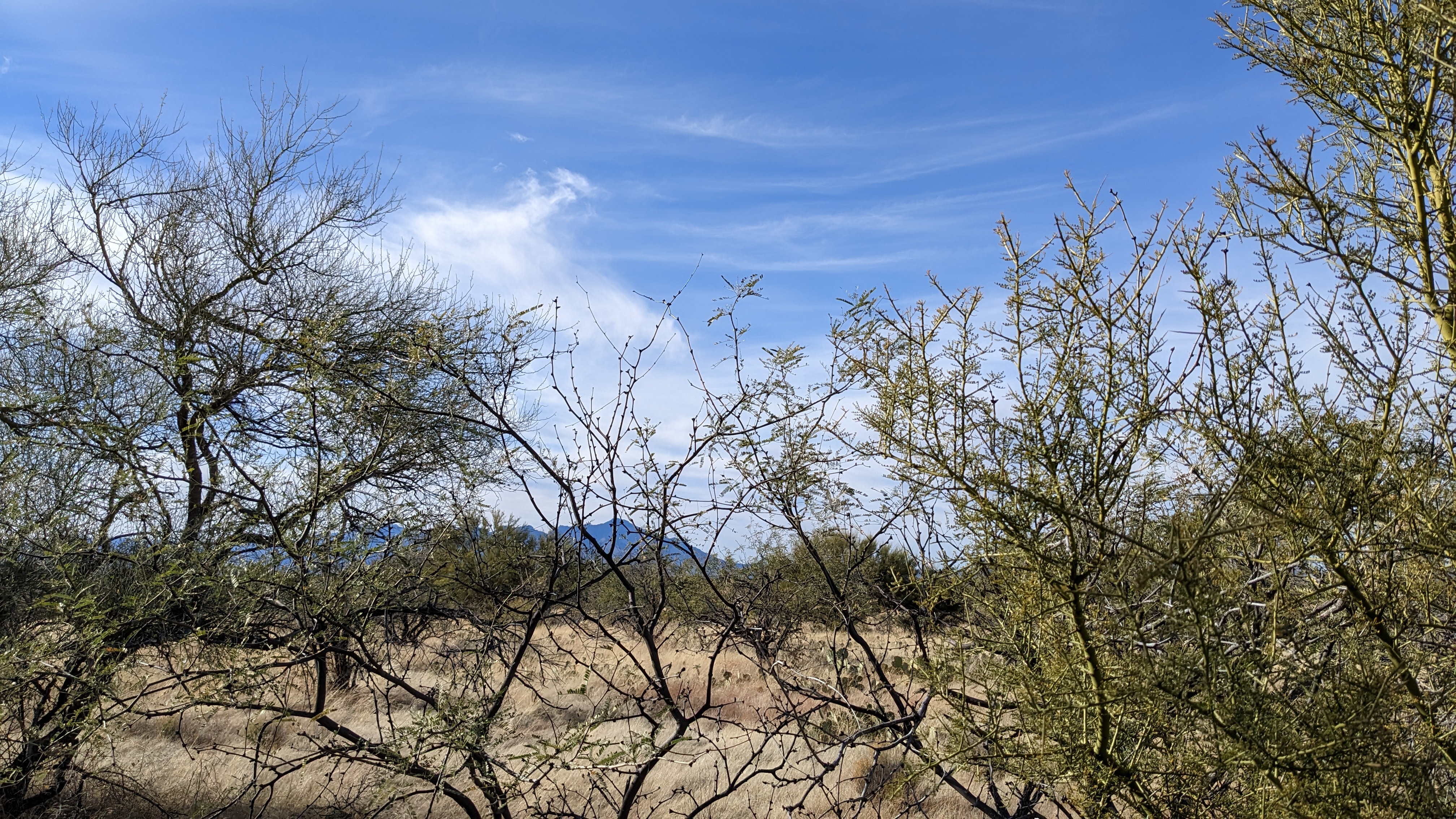
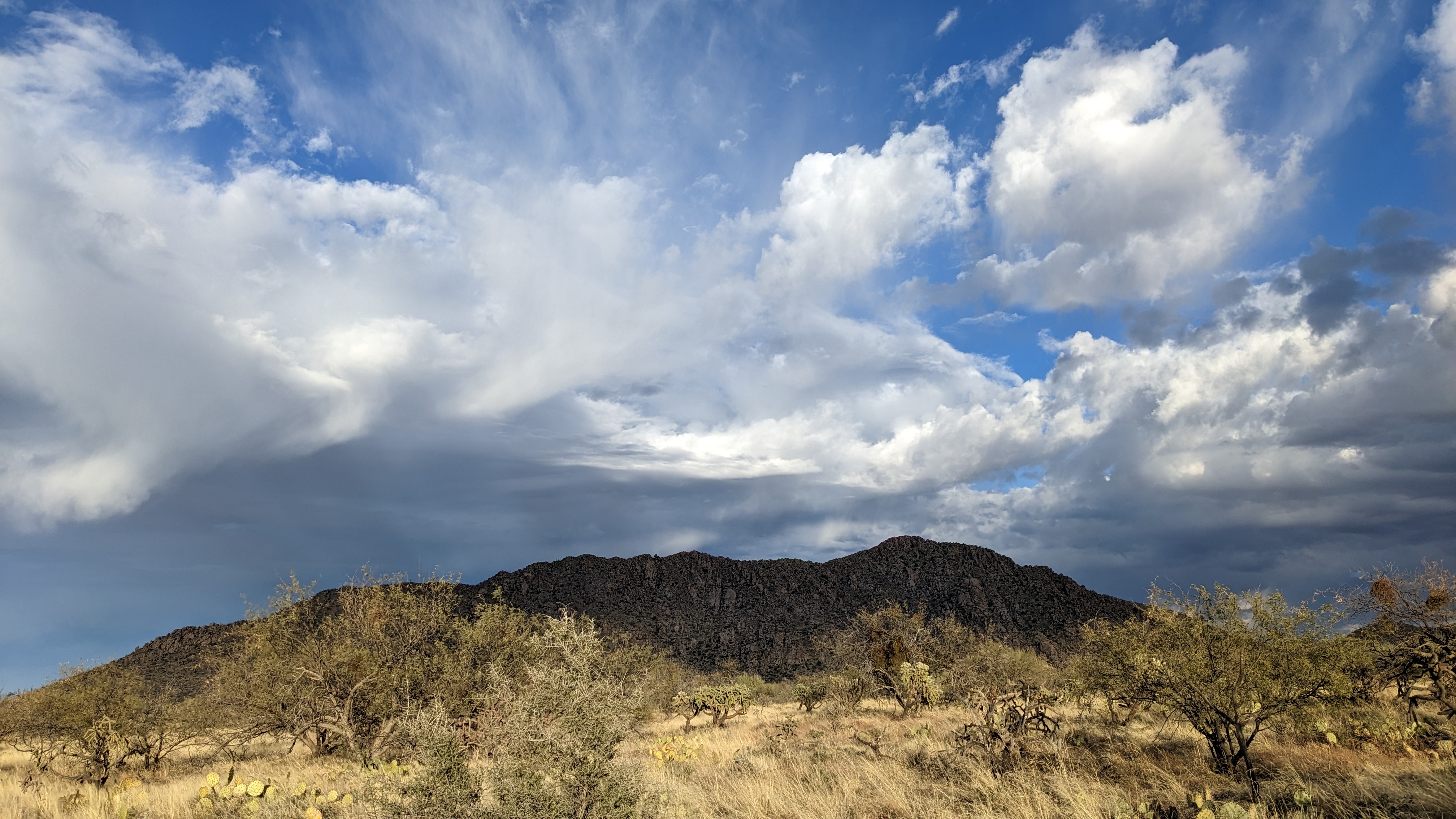
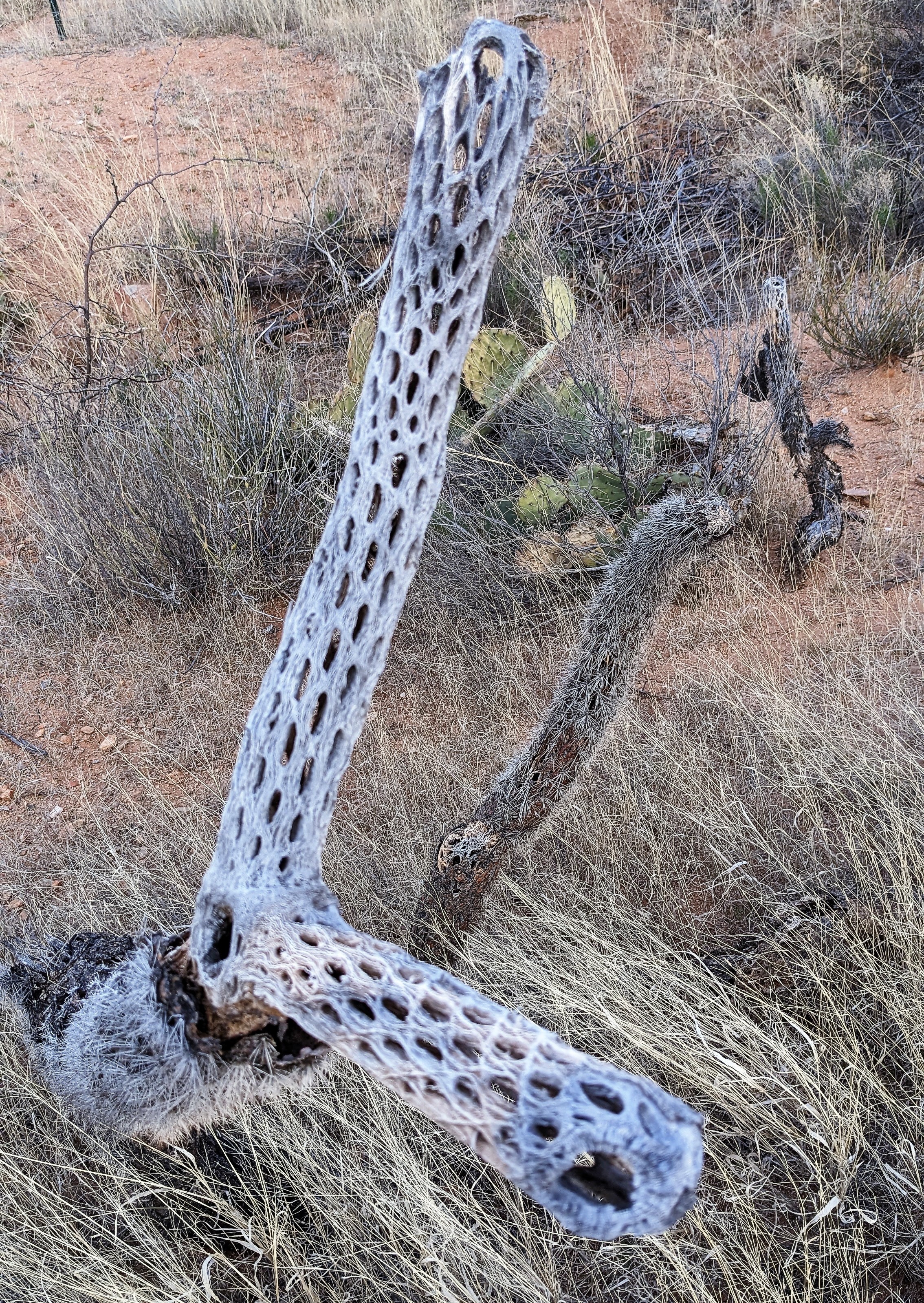
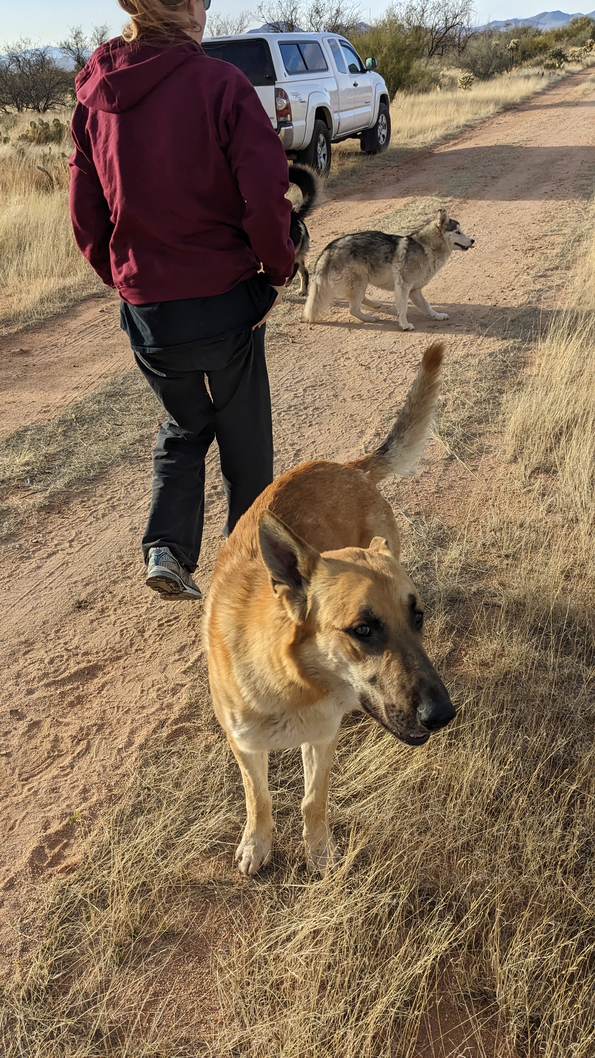
To the West, atop KItt Peak in the Quinlan Mountains at 6,883 ft., is the Kitt Peak National Observatory, home to more than twenty optical and two radio telescopes.Fine tobacco and Teddy Bear Cholla are a fine pairing.Resident shaman and animal whisperer on duty on a lovely afternoon at 3,500 feet in the Upper Sonoran Desert in the Altar Valley.A clump of Prickly Pear cactus.High desert grasslandPrickly pear cholla and a young Palo Verde tree.The view to the Southwest, the Quinlan Mountains, and Mexico beyond.The view to the West of the Coyote and Quinlan Mountains.The view to the South and Mexico off in the distance. From here, it’s a one hour and 48 mile ride to the hamlet of Sasabe on the border.Looking West at the Coyote and Quinlan Mountains that separate this valley from the Tohono O’odham Nation to the West.A makeshift ashtray and the first cigar smoked on the property.The view to the East and the Sierrita Mountains from our road. The Tucson Basin is on the other side.Gunsight Mountain (4,500 ft) in the Sierrita Mountains.Ranchers and homesteaders keeping an eye out. It is a bit of the Wild West out here.A section of the vast Diamond Bell Ranch was subdivided into housing lots in 1970 and gravel streets and signs were installed. Only the first phase was built out to include 200 homes and the desert is slowly reclaiming the unused sections.That’s Gunsight Mountain at the Northern end of the Sierrita Mountains and East of our lot. If you hiked to the top through endless cactus while keeping an eye out for rattlesnakes and looked to the East, you’d be seeing the Tucson Basin.A young Palo Verde tree.A barrel cactus that produces beautiful flowers when it blooms in the Spring.That prominent peak off in the distance is Baboquivari, sacred to the Tohono O’odham people. It is the center of their cosmology and the home of the creator, I’itoi. According to tribal stories, he resides in a cave below the base of the mountain. It can easily be spotted 60 miles away from Tucson to the East in the next desert basin.Only the built out Phase I got a well installed which is now owned and managed by the City of Tucson. Everyone else has water trucked in to fill storage tanks. Parked on the street (single lane dirt road).Peering through the thicket from where the javelinas bed down in the grass.Winter clouds above Gunsight Mountain.A Teddy Bear Cholla skeleton.The neighbors coming out to greet us.